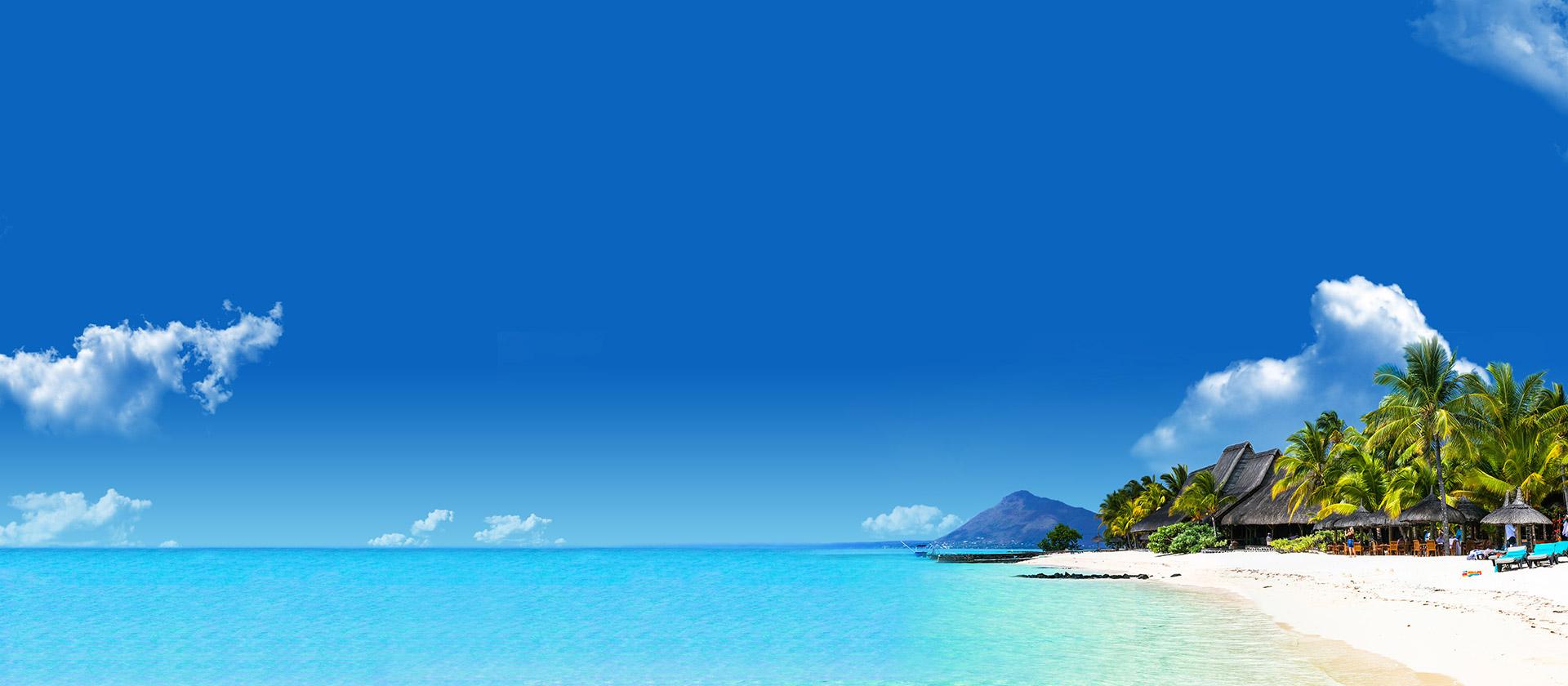

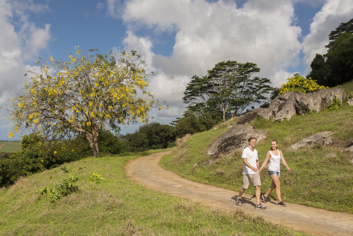
Hiking on Mauritius
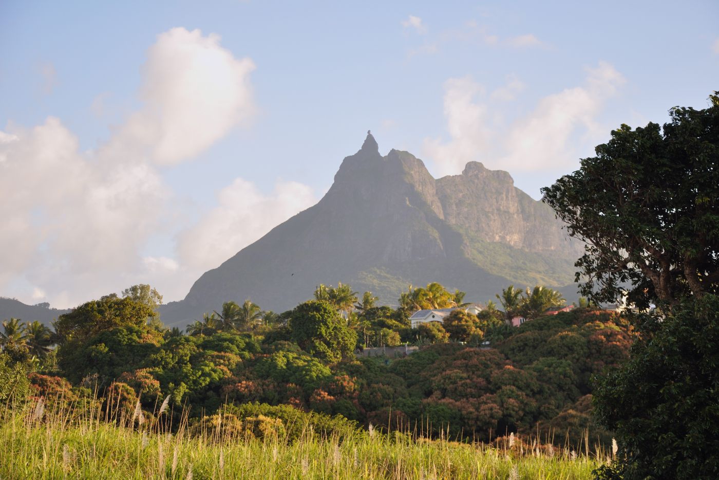
Trou aux Cerfs
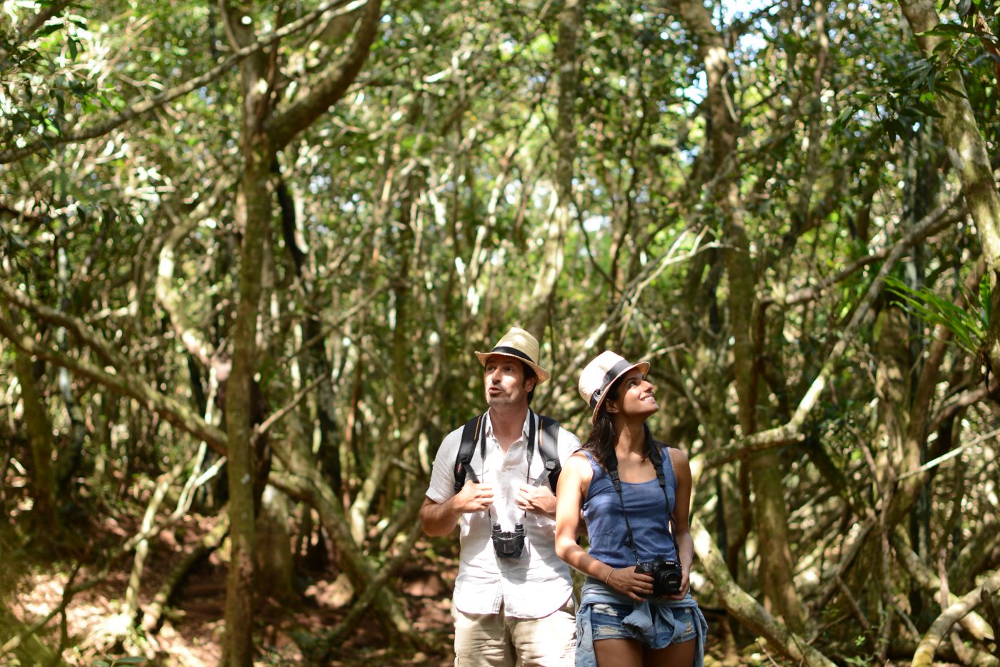
 Hikers on the Trou aux Cerfs volcano
This dormant volcano hasn't erupted for many years, but around the crater, a huge nature park has grown that attracts tourists and locals in droves. In the middle of the crater is a small tropical lake where there used to be lava. The park here is still rather wild, and offers a relaxed, idyllic atmosphere. Go hiking, enjoy picnics, take in the panoramic view, or watch the locals playing dominos amidst nature.
The Malenga Stairs
 The Malenga stairs
Anyone looking for the authentic side of Mauritius will be right at home on this hike. Very few tourists stray into this area, although the hike is far from difficult, and offers a wonderful view. The trail starts at the La Laura-Malenga village. Cross the village to the north where you will find a kiosk called Point Store. The street ends here, and then there's a small path up to the viewing point. From here, you can enjoy an incredible panorama of the mountains and the ocean, as well as Coin de Mire in the north if it is clear. From the viewing point, a set of stairs with a handrail winds down into the valley, always overlooking the impressive Pieter Both. From the valley it goes on across a small hiking path until you reach the town of Crève Coeur, where the hike comes to an end.
Le Morne Brabant
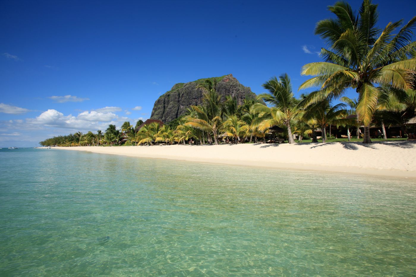 Le Morne Brabant is one of the highlights of Mauritius
This mountain, also known as the Table Mountain of Mauritius, is one of the most impressive on the island, contrasting against the beautiful backdrop of the ocean. Since 2008, the 556-metre mountain has been a UNESCO World Heritage Site, and guided tours of the mountain started in 2016. Along the way, you will likely see the national flower of Mauritius, the orange and red Trochetia, with its slight scent of vanilla. The view from the flat peak of the mountain is incredible, stretching across the island and the turquoise lagoon. Those who prefer the cultural side of things can inform themselves about the slave history of Mauritius at the foot of the mountain.
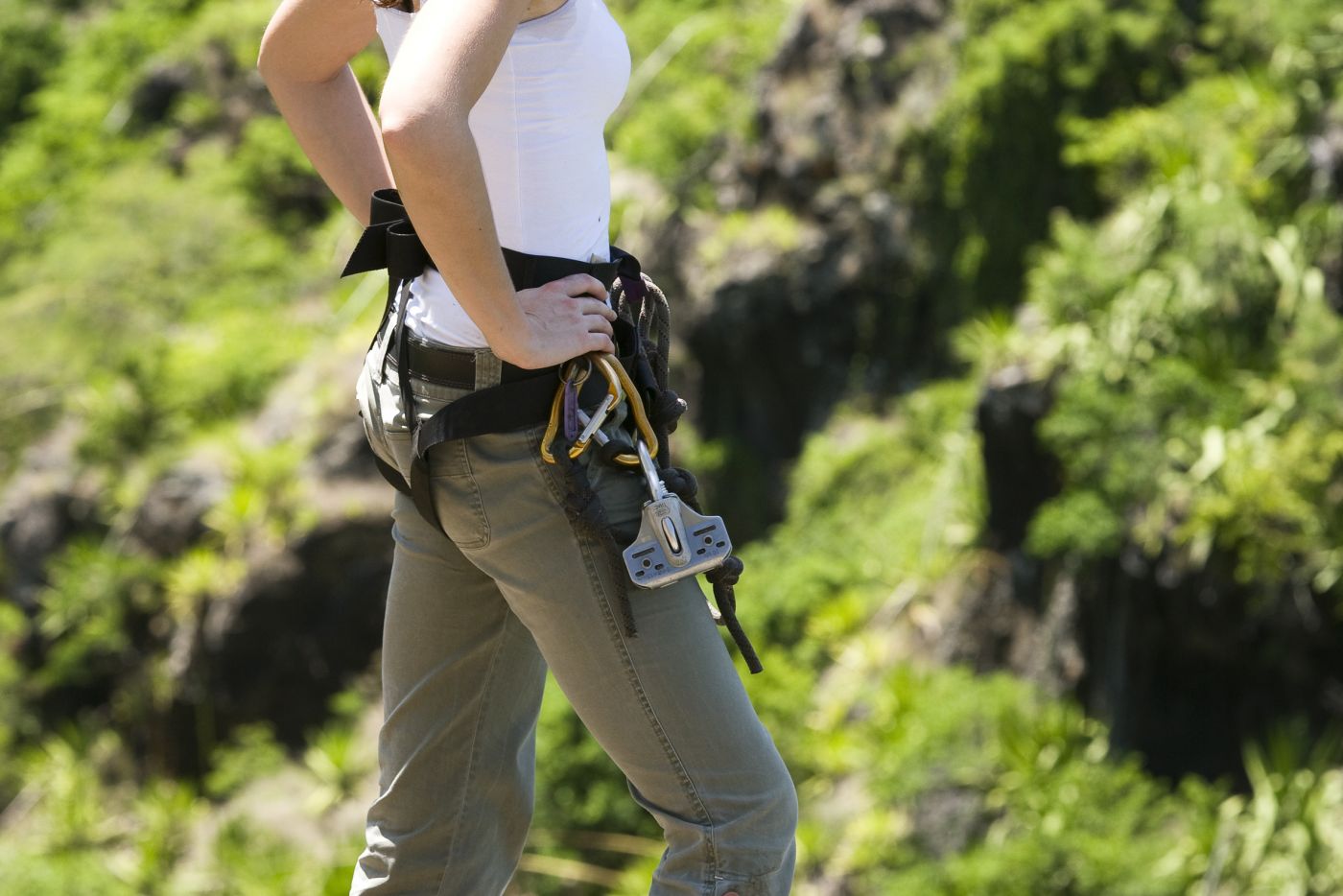
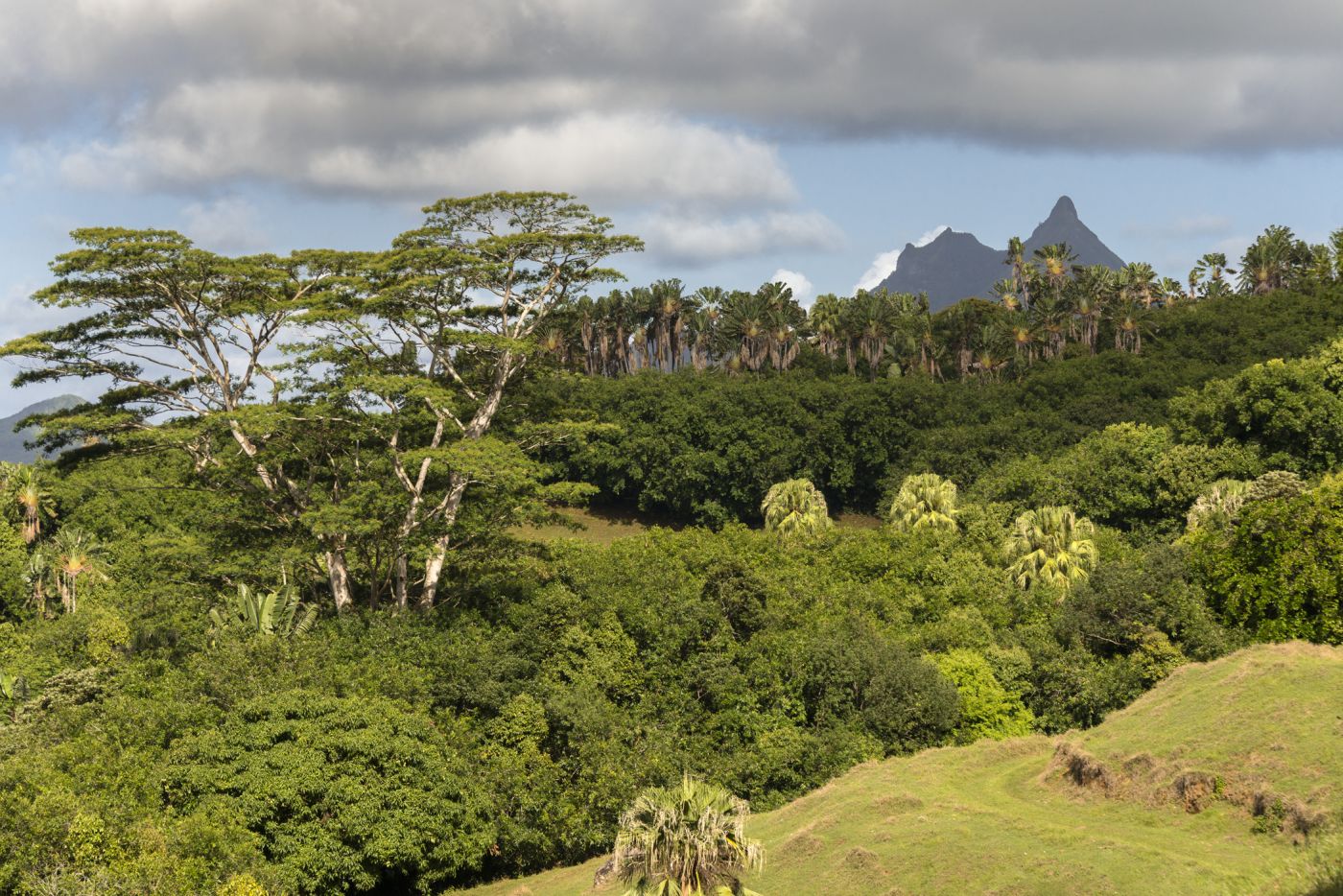
Pieter Both
 Pieter Both on Mauritius with its incredible shape © Simisa - CC BY-SA 3.0
The imposing mountain of Port Louis is well worth a visit, especially for hiking fans and nature lovers. You can see the 820-metre peak from almost everywhere on the island, making it a useful point of orientation. To get to the peak of the mountain, drive to Crève Coeur, a small town that isn't far from Port Louis. Tours are available from La Laura. The climb is not particularly dificult and tours are available to families and beginners. Those who wish to climb right to the peak should have some experience of rock climbing, and abseiling is also necessary.
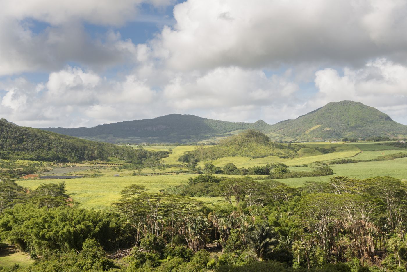
Trois Mamelles
 Trois Mamelles is ideal for hiking and climbing tours
These three 500-metre peaks, as is the case with all of Mauritius' mountains, are remnants of a volcanic eruption from millions of years ago. The rugged, rocky landscape is ideal for hiking and climbing through thick rainforests and barren plains, past wild eucalyptus and pepper plants. A small path leads up to the peak of the Mamelles, where you can enjoy a wonderful view of the Jemen valley. Sturdy footwear is an absolute must here.
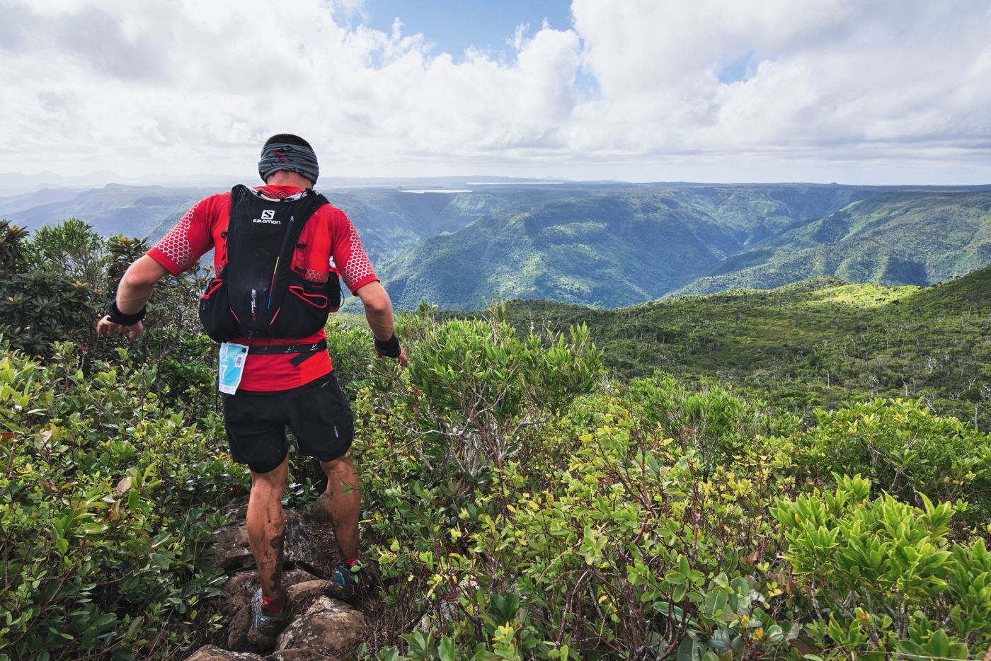
Black River Peak & Gorges National Park
 The largest mountain is in the Gorges National Park
The 40-square-kilometre Gorges National Park contains, amongst other things, the tallest mountain on Mauritius, the Piton de la Petite Rivière Noire, also known as Black River Peak, This 828-metre peak is joined to a long mountain range. Those whow make it to the top can enjoy a truly breathtaking view. There is a wooden bench at the top that is painted in Mauritius' national colours which serves as a popular photo subject. A network of paths winds through the park, totalling 60 km of trails, ensuring that you can hike all throughout the park. Here, you will find endemic rarities, such as the Colophane tree, and bird species in danger of dying out such as the pink pigeon. The two centres of the park provide information about hiking, and you can also rent maps there.
Vallée des Pretres
 The picturesque Vallée des Pretres
The picturesque valley between Port Louis and Crève Couer used to be home to monks. Even to this day, the old fruit and vegetable plantations of the monks remain, including mango trees and pineapple plants. While not a main tourist attraction (tourists rarely come here, in fact), it is a real oasis of peace, and is ideal for shorter hikes. Rare animals and plants can also be found here, including turtledoves, white-tailed tropicbirds, and ebony trees. The Latanier river flows through the valley, rounding off the tropical landscape of the region.
Vallée de Ferney
 The nature reserve of Vallée de Ferney
This park, whose aim is nature conservation, is home to rare plants and different palm trees, as well as Bois Clou trees. Endemic flying foxes, birds, lizards, and falcons can also be found here and are protected too. The best starting point for hikes is the entrance of the park, which can be found between Mahébourg and Vieux Grand Port. Thanks to signposts on the street, you shouldn't miss it.
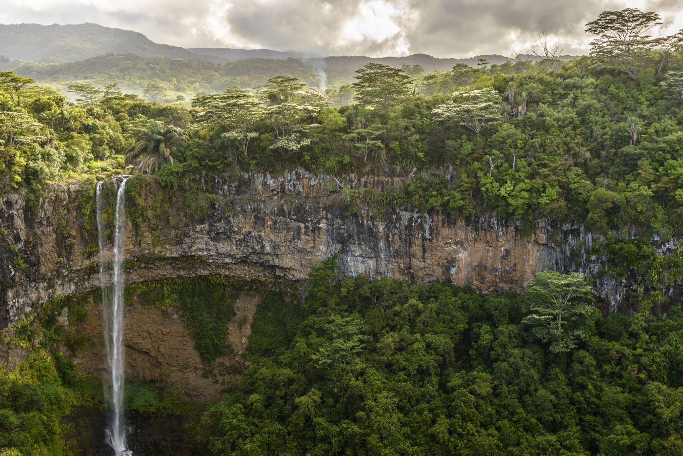
Grand Rivière South East Waterfall
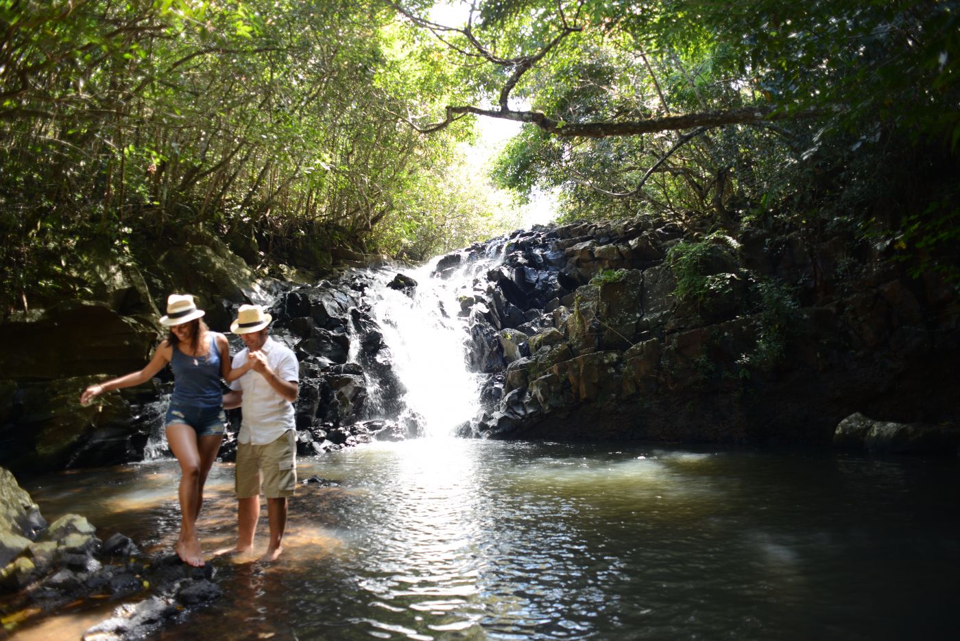 The waterfalls of Grand Rivière Sud Est
Close to the town of Deux Frères, one of the largest rivers on Mauritius flows into a picturesque ravine before joining the ocean. Those who want to discover the waterfall, but don't want to join a boat excursion, can hike to the top of the ravine instead. Walk towards the sea along a narrow path which begins at the bridge above Deux Frères. This leads straight to the waterfall and, with a little climbing, you can even reach the basin of the waterfall itself. We recommend only undertaking this hike when the weather is good, as the path is quite rocky and can be dangerous.
Rochester Falls
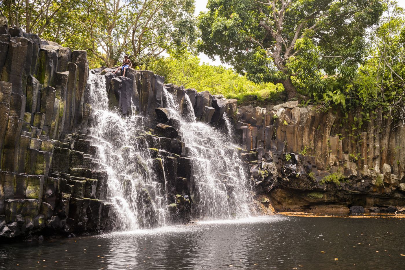 Rochester Falls
The waters of the Savenne River fall from a 10-metre cliff here, right into a natural basin where you can also go swimming. The green rainforest that surrounds the several small waterfalls here round off the tropical adventure nicely. Start at the town of Souillac, which you can reach on-foot or by car, then you can hike to the waterfall. There is a well-signposted path which leads the way. Sturdy footwear is recommended, as is good weather, as the path can be rocky, making it more dangerous when it is raining. Once you reach the pool of the waterfall, cool off in the water before descending via the narrow path at the side of the waterfall.
Tamarind Falls
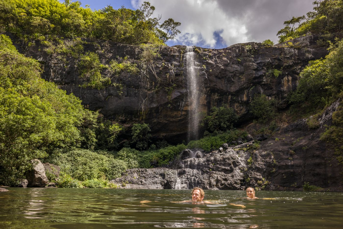 The Tamarind Waterfalls are actually seven smaller waterfalls in one
Probably the most famous waterfalls on Mauritius, the seven waterfalls at Tamarind fall one after the other over several ledges of cliff. Between the rocky steps are small natural ponds, where you can also swim if you want. To get to this tropical paradise, take a hike of medium difficulty along the Tamarind Falls Reservoir to the first stage. The path from here to the waterfalls are then signposted. Guided tours are on offer from several companies, such as Vertical World or Otelair, including canyoning tours.
The Wild South Coast
 The wild southern coast of Mauritius
Past sugar cane fields, fishing ponds, and finally arriving at the turquoise ocean; this simple hike has something for all fans of nature. The street from the Sir Seewoosagur Ramgoolam airport is the starting point. From here, walk or drive in the direction of Le Bouchon towards the ocean. Once you reach the coast, take the narrow hiking path into the island's interior. After a while, you will reach the Pont Naturel, which is great for photos thanks to its basalt stone and the white sandy beach. Walk further along the coast until you reach the end, the Trou du Souffleu. If the waves are strong, you will also see a fountain of water springing high into the air.